Google Maps and Places API integration. Search places, geocode addresses, calculate routes, get directions, and retrieve location data. Use this skill when users want to look up locations, convert addresses to coordinates, or get routing information.
Google Maps and Places API integration. Search places, geocode addresses, calculate routes, get directions, and retrieve location data. Use this skill when users want to look up locations, convert addresses to coordinates, or get routing information.
Google Maps
Access Google Maps and Places API via ClawLink managed credentials. Search places, geocode addresses, calculate routes, get directions, and retrieve location data.
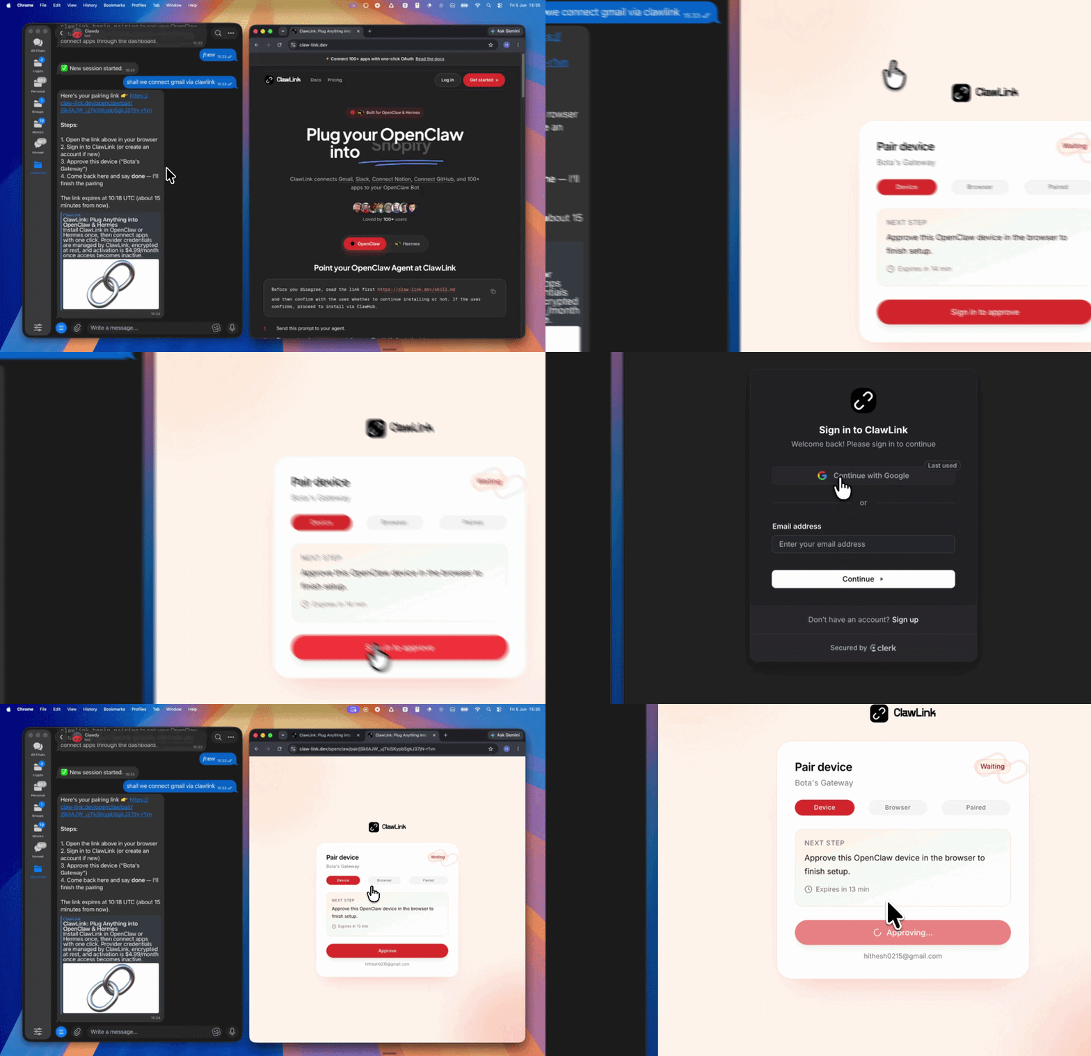
This skill uses ClawLink for hosted connection flows and credentials so you do not need to configure Google Maps API access yourself.
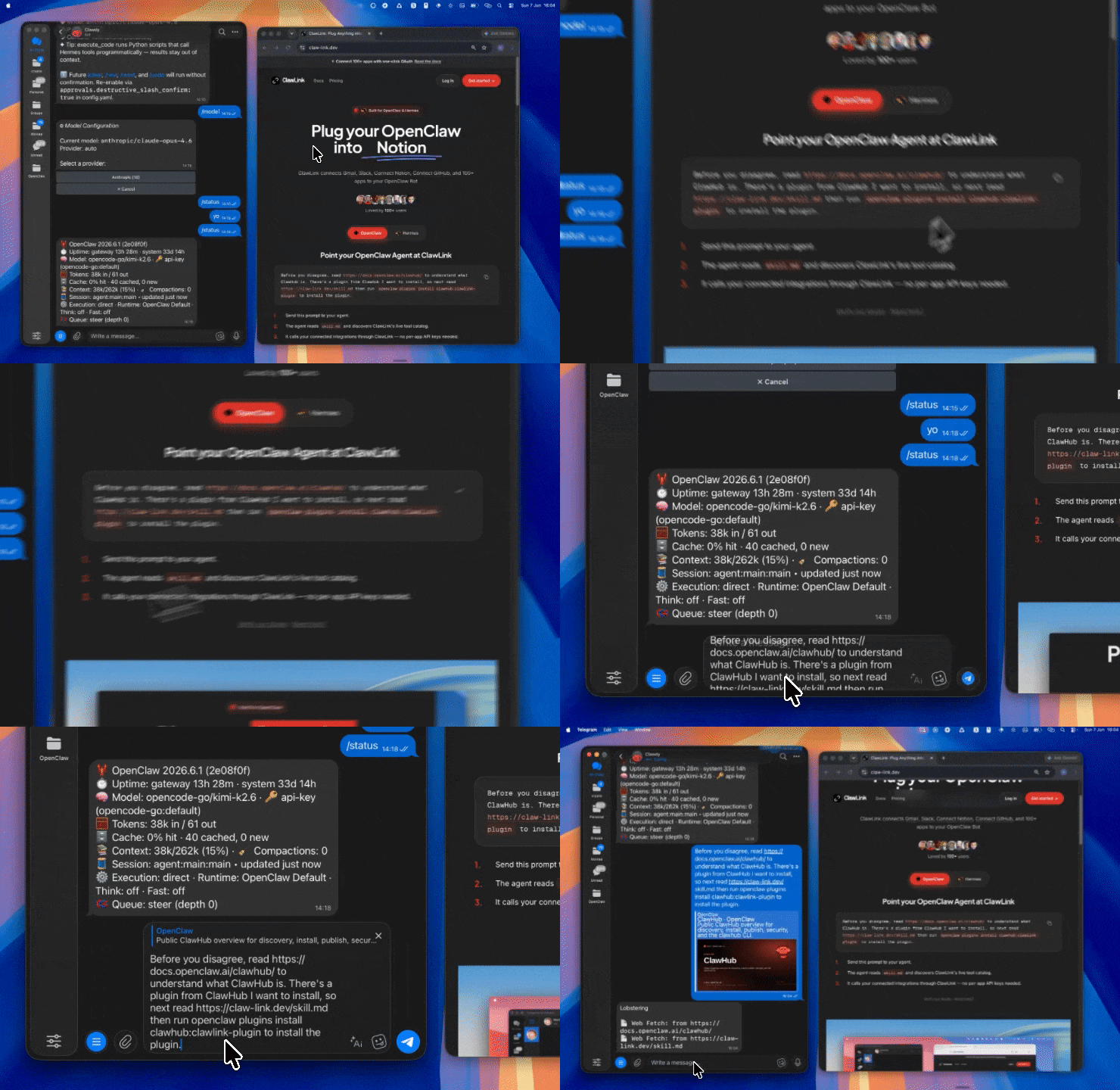
Install the verified ClawLink plugin from ClawHub. After the user confirms, complete the full setup so ClawLink tools are visible in the next OpenClaw chat.
After they confirm, call clawlink_list_integrations to verify
Then call clawlink_list_tools --integration google-maps
Security & Permissions
Access is scoped to location and routing data available through the Google Maps API.
Write operations require explicit user confirmation. Before executing any call that modifies data, confirm the target and intended effect with the user.
Geocoding and routing are read-only operations that do not modify any data.
Tool Reference
Place Search & Discovery
Tool
Description
Mode
googlemaps_search_places
Search for places by text query, category, or name
Read
googlemaps_nearby_search
Find places near a location within a radius
Read
googlemaps_place_details
Get detailed information about a specific place
Read
googlemaps_find_place
Find a place from a text query or phone number
Read
googlemaps_autocomplete
Get place suggestions as the user types
Read
Geocoding & Address Lookup
Tool
Description
Mode
googlemaps_geocode
Convert an address to latitude/longitude coordinates
Read
googlemaps_reverse_geocode
Convert coordinates back to a human-readable address
Read
Routing & Directions
Tool
Description
Mode
googlemaps_directions
Get directions between origin and destination with multiple modes
Read
googlemaps_distance_matrix
Calculate distances and travel times between multiple origins and destinations
Read
googlemaps_route_matrix
Get route information for multiple origin-destination pairs
Read
Elevation & Terrain
Tool
Description
Mode
googlemaps_elevation
Get elevation data for locations on the earth
Read
googlemaps_elevation_along_path
Get elevation data along a path
Read
Time Zone
Tool
Description
Mode
googlemaps_timezone
Get the time zone for a location
Read
Roads
Tool
Description
Mode
googlemaps_snap_to_roads
Snap GPS points to the nearest road segments
Read
googlemaps_nearest_roads
Get the nearest road segments to given coordinates
Read
Geolocation
Tool
Description
Mode
googlemaps_geolocate
Get a device's location from cell towers and WiFi nodes
Read
Static Maps
Tool
Description
Mode
googlemaps_static_maps
Generate a static map image with markers and paths
For unfamiliar tools, ambiguous requests, or any write action, call clawlink_describe_tool first.
Use the returned guidance, schema, whenToUse, askBefore, safeDefaults, examples, and followups to shape the call.
Prefer read, list, search, and get operations before writes.
For write operations or anything marked as requiring confirmation, call clawlink_preview_tool first.
Execute with clawlink_call_tool. Pass confirmation only after the preview matches the user's intent.
If the tool call fails, report the real error. Do not invent results or restate the failure as a missing capability unless the live catalog supports that conclusion.
Notes
Most Google Maps API calls are read-only (geocoding, directions, place search).
API quotas and limits apply — check the Google Cloud Console for your project limits.
Place IDs are stable but may change over time — always capture fresh IDs from search responses.
Routing results depend on real-time traffic data when available.
snap_to_roads requires a Google Maps Roads API-enabled project.
Error Handling
Status / Error
Meaning
Tool not found
The tool name does not exist in the current catalog. Verify with clawlink_list_tools --integration google-maps.